
- Catalogues
- Catalogue 43
- Maps & Mapping
Catalogue 43: Maps & Mapping Current
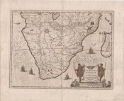
Aethiopia inferior vel exterior, c. 1640
50cm x 38cm. Willem Blaeu's famous map of Southern Africa which was the standard map of the region in the 17th century; it went into many editions [Loosely translated title: Aethiopia Inferior or ...
R12,000
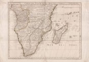
Carte du Congo et du Pays de Cafres, 1780 [1708]
62cm x 50cm. The first modern map of South Africa produced in 1708 by the famous Guillaume Delisle, who broke with Ptolemaic tradition; uncoloured as issued and in fine condition. This ...
R8,500
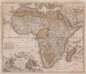
Totius Africae Nova Representatio qua praeter diversos, 1753
48.6 x 57.1 cm. Early eighteenth century map of Africa with beautiful cartouche - produced by Johann Homann. The map is in very good condition.
R8,500
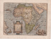
Africam Graeci Libyam App: Africae Tabula Nova. Edita Antverpiae 1570, 1579
38cm x 51cm. The map of Africa was printed from one copper plate, engraved by Frans Hogenberg, from 1570 until 1641. This particular example of the map is rare: only 325 copies of the 1570 map ...
R40,000
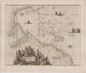
Occidentalior Tractus Indiarum Orientalium['The western extension of the East Indies', i.e., c. 1740
44.0cm x 53.9 cm. Beautiful, decorative sea chart of the western part of the Indian Ocean and adjacent land. Published by the Ottens brothers in Atlas de la Navigation et du Commerce in 1739 and 1745.
R17,000
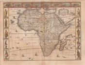
Africae described, 1676
51.5 x 39.5 cm. Attractively coloured this third state (1676) of John Speed's decorative 1626 map of Africa. This is the first map of Africa prepared by a notable English cartographer. The side ...
R50,000