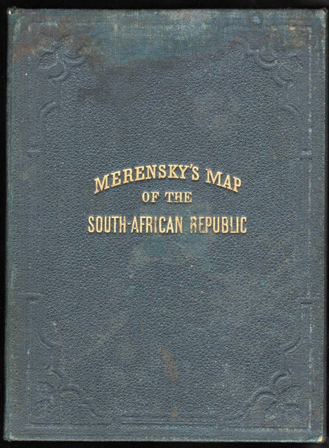
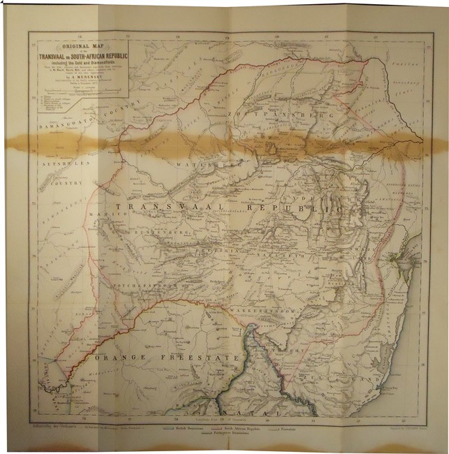
South African Republic (Folding Map)
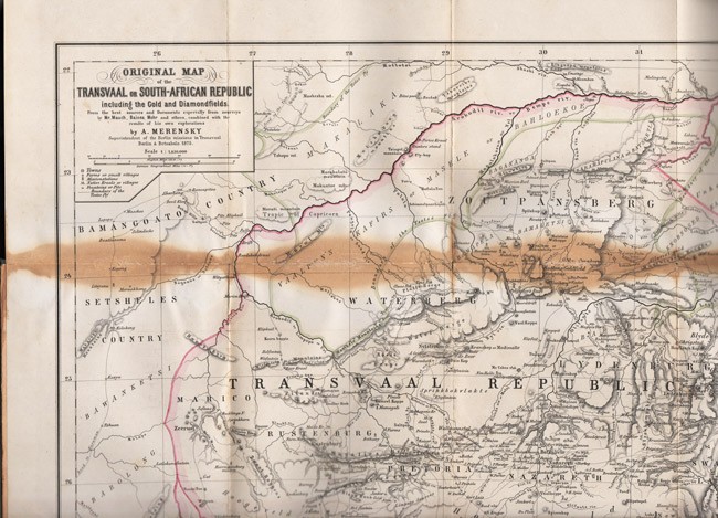
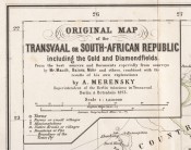
ORIGINAL MAP OF THE TRANSVAAL OR SOUTH-AFRICAN REPUBLIC INCLUDING THE GOLD AND DIAMONDFIELDS
From the best sources and Documents especially from sourveys (sic) by Mr Mauch, Baines, Mohr and others, combined with the results of his own explorations by A. Merensky, Superintendent of the Berlin missions in Transvaal and Botsabelo, Engraved by J. Sulzer
Published: Berlin, 1875
Stock Number: #9835/1
Price: R20,000
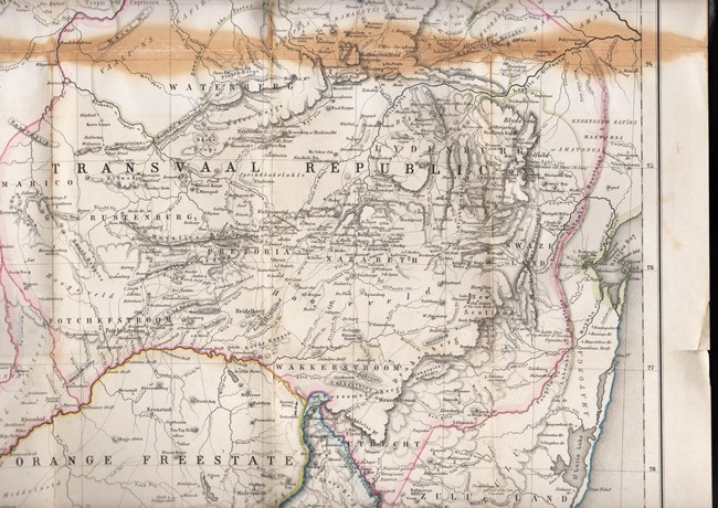
Printed on paper and coloured in outline, 510 x 510 mm, folds into blind stamped green cloth covers titled gilt, stained across the first fold and along the bottom edge, minor tears at some folds.
The Transvaal territory is shown as extending far further to the east than was later the case. Towns such as Utrecht and Luneberg as well as most of Swaziland are shown as being with the Z.A.R. Dictionary of South African Biography,volume I, page 534:Alexander Merensky (1837 ? 1918). As a researcher Merensky was particularly interested in geography and made two significant contributions in that field. Assisted by Carl Mauch, the explorer, and Friedrich Jeppe, the postmaster-general and cartographer, he in 1868 published a map which is a relatively comprehensive survey of the Transvaal. In 1975 he published in Germany a considerably improved map of the Transvaal Republic; for a long time it was considered the best cartographical survey of this area.

